Digitizing Georgia cities with Sanborn maps
Sanborn maps are commonly used sources of data on urban landscapes of the late 19th and early 20th centuries. These maps were created for insurance purposes, but their detailed information on building outlines, land use, place names, and street networks can be used for research on public health, environmental hazards, and historic preservation.
Many Sanborn maps are now available in high quality scans at sites like the Library of Congress or the Digital Library of Georgia. These maps can be downloaded, georeferenced, and digitized in GIS to provide spatial data useful for research purposes.
The CML has used Sanborn maps in several projects.
GIS Day 2026
For GIS Day 2026, the CML is hosting a georeferencing activity for the 1900 Sanborn map of Columbus, Georgia. This map captures the downtown area as well as a residential neighborhood just west of the Chattahoochee River in Alabama.
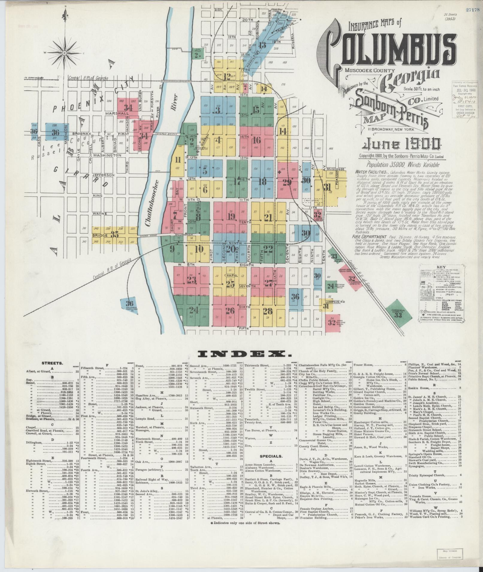
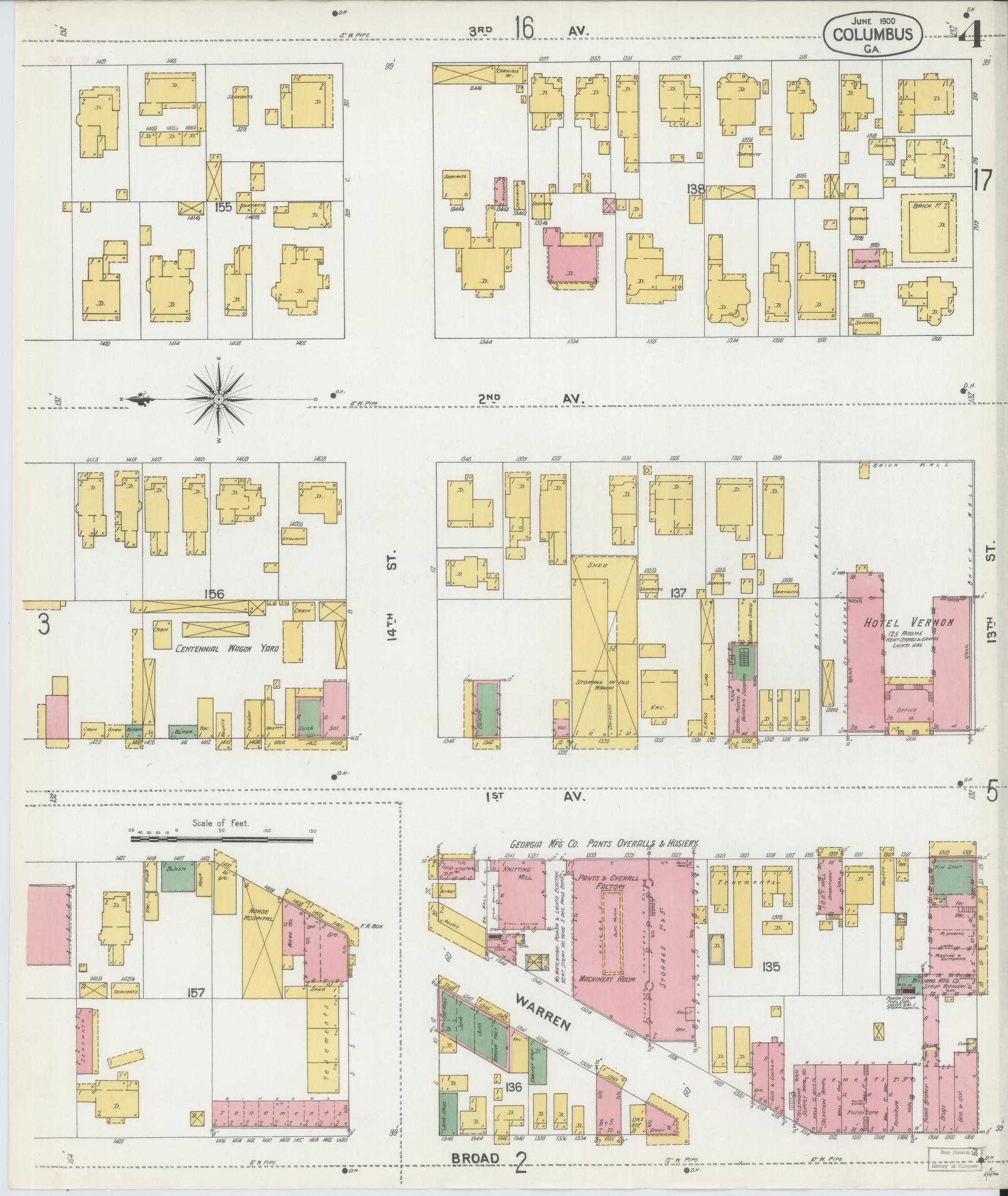
For this activity we will be using OldInsuranceMaps.net, an online georeferencing platform created specifically for this purpose. Our goal is to georeference as many of the maps from this volume as we can.
It’s worth noting that the Alabama side of this area has seen significant redevelopment in the last 126 years, and so georeferencing those maps is difficult. People tackling those pages should rely on the streets shown in the “keymap” as a reference for geocoding. As others georeference, you can also see those completed layers under “main content.”
Before your start, create an account on OldInsuranceMaps.net so that you can edit these images.
Steps for georeferencing
OldInsuranceMaps has an online guide to georeferencing on the platform. You can also watch Adam Cox do a live walkthrough of the platform.
Briefly, the process is as follows:
- Check out a prepared map for georeferencing from the project page. The system will only let one person edit at a time.
- Zoom to the general area covered by your map.
- Add control points to features visible on both your map and the keymap and/or current street map, which will probably mostly be street intersections.
- When done, save your session.